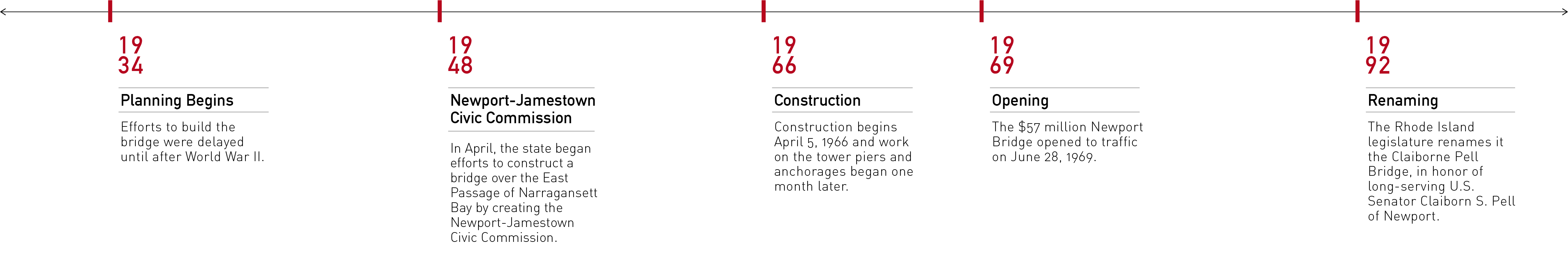
East Passage Crossing of Narragansett Bay was the technical project name for what, colloquially would become the iconic 2.1 mile long Newport Bridge after a long and controversial planning process that resulted in the completion of the structure in 1969 due to the advocacy for the bridge project by Senator John H. Chafee, elected Senator in November of 1962. Rhode Island State Legislature dedicated the Newport Bridge in honor of six-term U.S. Senator Claiborne Pell upon his retirement.
The steel framed deck of the Claiborne Pell Bridge is suspended from cables, supported by two soaring gothic styled intermediate portal towers bordering the shipping channel, that terminate in below water level pile anchors on the shorelines of Conanicut Island (Jamestown) to the west and Aquidneck Island (Newport) to the east, respectively. The Jamestown-Verrazano Bridge connecting NorthKingston and Jamestown and the Claiborne Pell Bridge are part of Route 138, the southern connection between mainland Rhode Island and Newport. Crossing the Narragansett Bay on the east bound lane, motorists enjoy the stunning views of the Newport shoreline, the Point Neighborhood along the coastline to the right, and Fort Adams in the far distance to the south. Leaving Newport offers equally impressive views of the Bay and the shore of Conanicut Island with the Jamestown-Verrazano Bridge on the horizon.
The Pell Bridge is the gateway to the Narragansett Bay and rivers to the North. The East and West towers rise 400 feet (122 m) above the water surface, and the peak of the roadway deck is 215 feet (66 m). Ships entering the Bay enter through a channel that passes directly below the roadway deck at its highest elevation.
Timeline
![]()
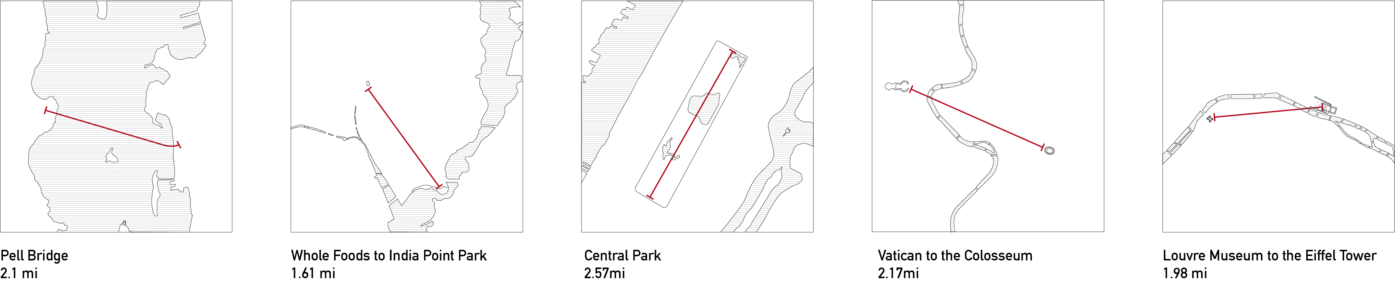
Distance Comparisons
![]()
Section
![]()
![]()
![]()
Distance Comparisons
Section

According to a gauge in Narragansett Bay, sea level has risen eleven inches since 1930, most of it in the last three decades. The National Oceanic and Atmospheric Administration predicts up to 3.25 feet of sea level rise by 2050 and up to 9.6 feet by 2100. During moon tides and major storms, water levels will get even higher. And that means that most of Rhode Island’s salt marshes — and much of the rest of the coastline — will soon become flooded.
(“Preparing for Rising Seas in Rhode Island,” Rhode Island Monthly, June 20, 2019)
The Pell Bridge is the gateway to the Narragansett Bay and rivers to the North. The East and West towers rise 400 feet (122 m) above the water surface, and the peak of the roadway deck is 215 feet (66 m). Ships entering the Bay enter through a channel that passes directly below the roadway deck at its highest elevation.
Flood Zones![]()
The proposal for the reconstruction of the Newport Pell Bridge ramp addresses the traffic congestion resulting from queuing on the bridge. The ramp realignment aspires not only to provide a safer entry into Newport but also a connection between Newport's North End and the downtown area. In addition, the realignment will free up parcels of land for new development.
http://www.dot.ri.gov/projects/projects_newport.php
The North End Urban Plan
This plan will provide detailed urban design guidance for Newport’s North End and provide, along with the City's comprehensive plan, a basis for rezoning. This plan will outline opportunities for dense, diverse development at a range of development scales to create lively street life enjoyed by the public. New housing options, recreational spaces, and connectivity will be designed to meet the needs expressed by Newporters.
https://www.cityofnewport.com/en-us/city-hall/departments/planning
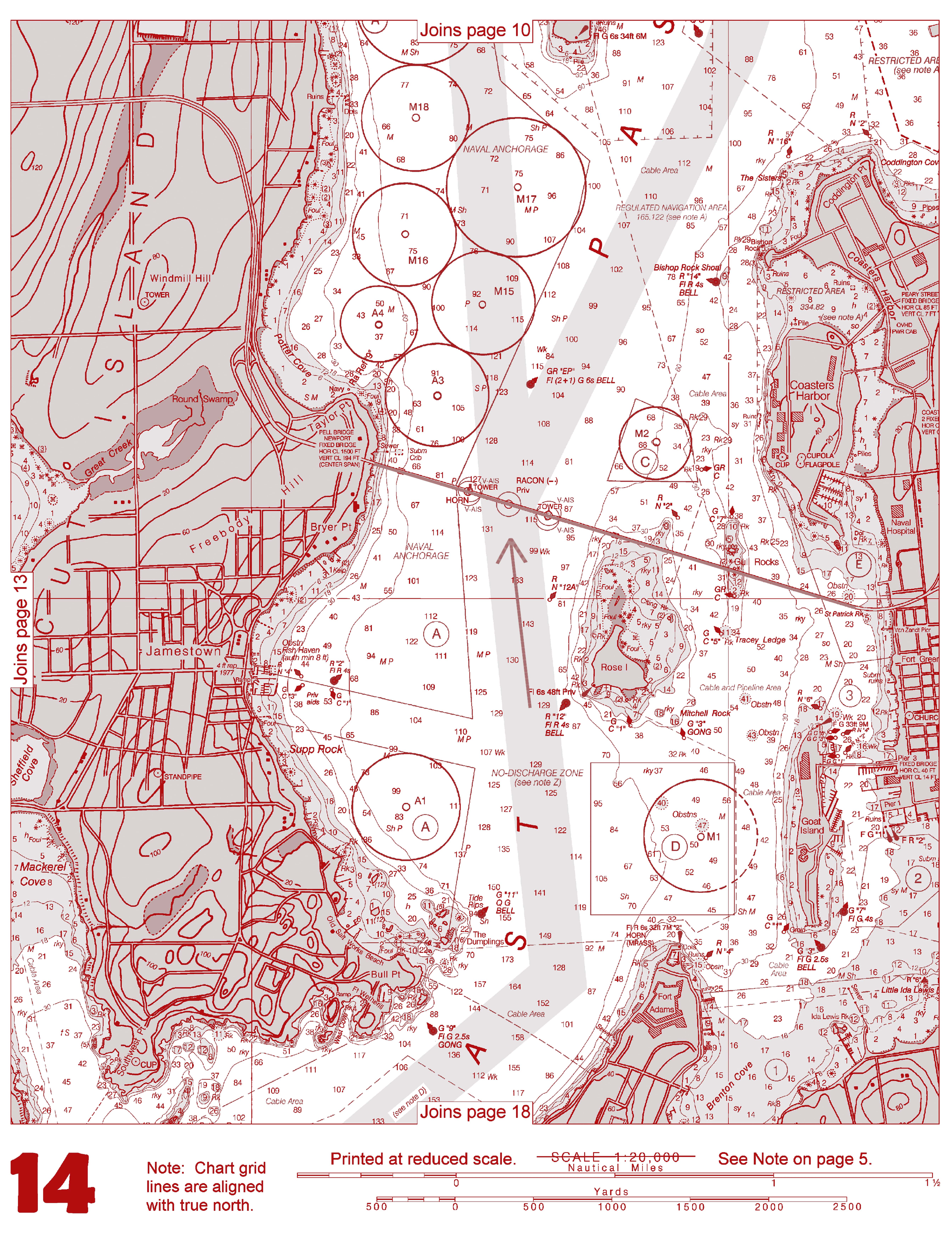
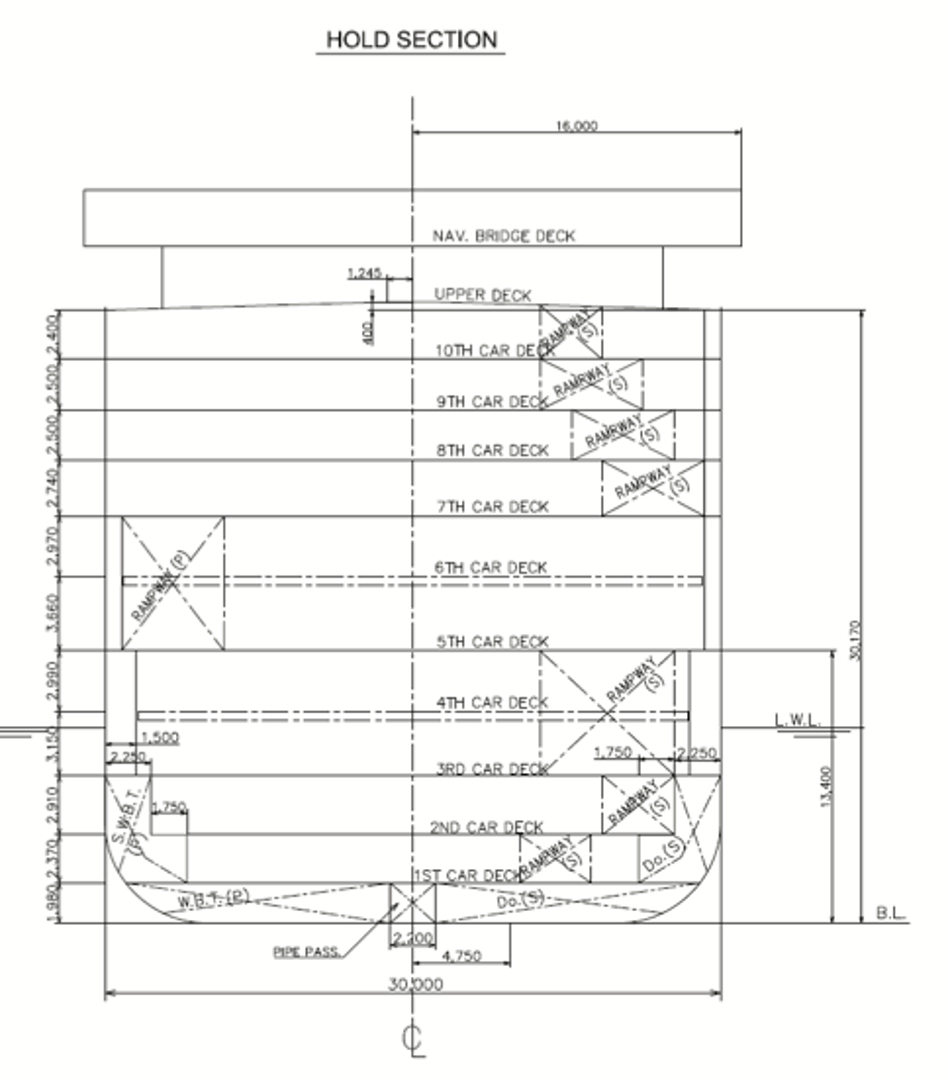
East Passage and Ship Hold
![]()
![]()